Carrollton Mills Mitigation Bank
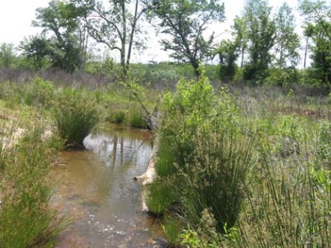
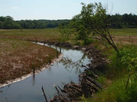
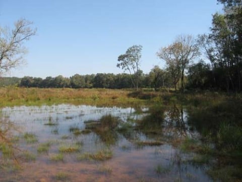
Carrollton Mills is an approved U.S. Army Corps of Engineers stream and wetland mitigation bank in the Middle Chattahoochee Service Area. The Bank is located at the confluence of Cavender and Whooping Creeks in Carroll County, Georgia. The Bank is approximately 142 acres in size and has restored, enhanced, and preserved approximately 15,700 feet of stream, 14 acres of riparian buffer, and 34 acres of wetlands.
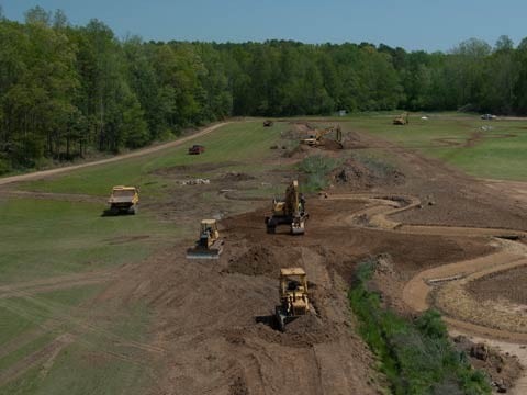
This majority of the site was a sod farm used for planting and harvesting turf grass. The streams were severely impaired due to this intensive land management. Prior to restoration, it was estimated that the site contributed 1,360 tons of sediment annually to the Whooping Creek, a direct tributary to the Chattahoochee River. Restoration will reduce that number by nearly 1,000 tons of sediment per year.
Carrollton Mills is within a strategic location for mitigation. Whooping Creek has been identified by GDNR as a High Priority Stream. The Bank is located across the Chattahoochee River from Chattahoochee Bend State Park and is within priority area for conservation based on the State Wildlife Action Plan. Furthermore, the Bank will benefit habitat for numerous of rare or sensitive fish species. Both Cavender and Whooping Creeks are listed on the 303(d) list for not supporting their designated uses due to impaired biota and fecal coliform attributed to non-point source pollution. Activities at the Bank will have removed harmful land uses that potentially contributed to that impairment.
Bank Info
| Size: | 142 +/- acres |
| Mitigation: | Wetland, Stream, and Riparian Buffer |
| Location: | Carroll County, Georgia 33°26’52” N 85°0’38” W |
| Service Area: | Middle Chattahoochee
Primary Secondary |


