Wilkinson-Oconee Mitigation Bank
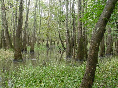
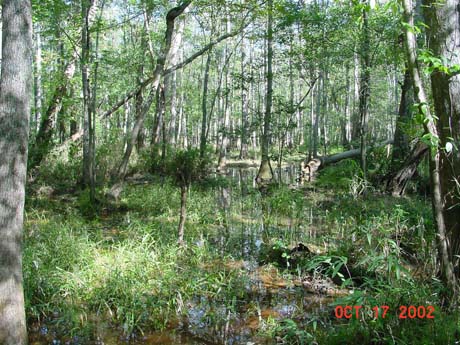
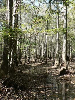
Wilkinson-Oconee Mitigation Bank offers wetland and stream mitigation credits for all types of freshwater wetland, stream, and buffer impacts in the Altamaha Service Area. The Bank is a highly diverse alluvial and blackwater river system along the Oconee River. Mitigation includes more than 5,200 acres of bottomland hardwood and cypress-tupelo wetland restoration and enhancement and over 12 miles of stream and riparian buffer restoration. Other objectives of the Bank include threatened and endangered species habitat improvement, wildlife management, forest management and timber stand improvement, and opportunities for recreational activities.
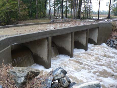
Wilkinson-Oconee contains two tributaries to the Oconee River, Black and Salt Log Lake Creeks. The Bank area was once a mature complex of bottomland hardwood forest, alluvial bottomland hardwood wetlands, seasonally flooded hardwood flats, and permanently flooded cypress-tupelo swamp forest, but streams were bisected by a drainage canal to divert all surface water to a single discharge into the Oconee River and maximize agriculture and timber harvest. Construction was completed in 2009 to restore hydrology across the overall system back to natural conditions. Riparian buffer and upland buffer restoration and protection have also been provided along the Oconee River.
Bank Info
| Size: | 6,735 +/- acres |
| Mitigation: | Wetland, Stream and Riparian Buffer |
| Location: | Wilkinson County, Georgia 32°54’55” N 83°5’14” W |
| Service Area: | Altamaha
Primary Secondary |


