Bannister Creek Mitigation Bank
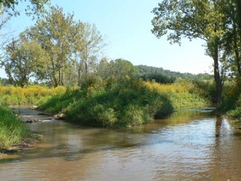
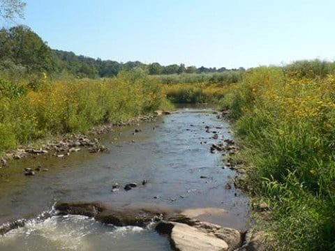
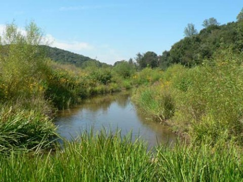
Bannister Creek Mitigation Bank is a U.S. Army Corps of Engineers approved mitigation bank offering stream mitigation credits for all types of stream and riparian buffer impacts in the Etowah Service Area. Restoration and protection of the Bank site has provided water quality benefits, such as a significant reduction of total suspended solids, and habitat benefits, such as occupied stream habitat, within the Etowah River basin. For over 100 years, this site had served as a cattle pasture and had been farmed intensively for row crops and hay. Initial restoration success and exceptional site characteristics have made this a showcase project.
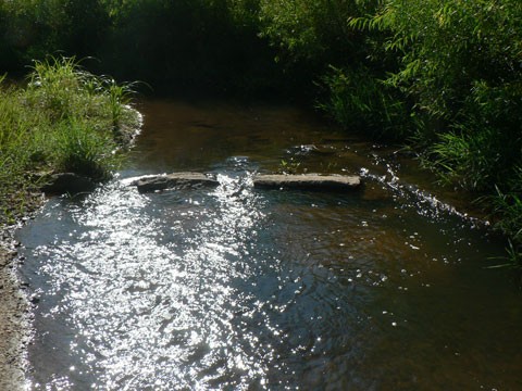
The Bank is located at the confluence of Bannister and Brewton Creeks adjacent to the Etowah River in Forsyth County, Georgia. Mitigation efforts include the restoration of approximately 15,000 linear feet of stream channel using natural channel design methods as well as restoration and preservation of over 90 acres of riparian buffer. Fisheries surveys indicate that the bank supports protected and rare species, including the federally threatened Cherokee darter, Alabama shiner, Mobile logperch, redeye bass, silverstripe shiner, speckled darter, and tricolor shiner.
Bank Info
| Size: | 90+/- acres |
| Mitigation: | Stream and Riparian Buffer |
| Location: | Forsyth County, Georgia |
| Service Area: | 34°18’41” N 84°12’52” W
Primary Secondary |


